The Mid-Atlantic’s leading coastal ocean observing system, MARACOOS transforms real-time marine data into decision-making tools that protect lives, strengthen local economies, ensure clean waters, and build resilient coastal communities.
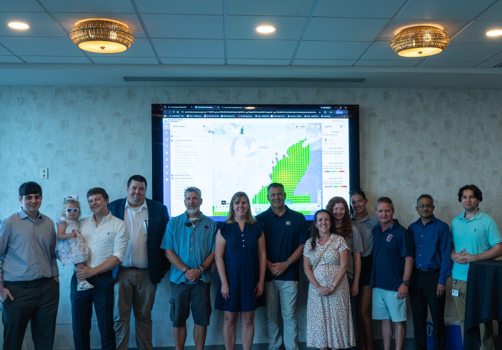
Discover how we make an impact through our five focus areas, or explore OceansMap, our interactive data portal where our observations inform and strengthen coastal communities.