Announcing Custom Dashboards with OceansMap Insights!

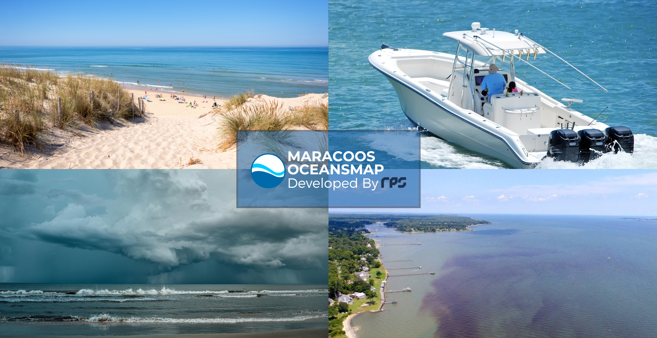
We are thrilled to announce OceansMap Insights, an enhancement to our flagship data portal, OceansMap. Insights are customized dashboards and data views that are tailored to specific user needs and include region-specific permalinks and dashboards designed to provide preloaded, easy-to-access data scenarios.
Existing Insights categories include:
By incorporating new data technologies and user-driven updates, these Insights enhance the Mid-Atlantic’s ability to understand, manage, and respond to changing ocean conditions. This effort directly supports the safety, economy, and well-being of the over 78 million residents living in the Mid-Atlantic region.
Seeking Your Feedback
To better serve our users, we are seeking to expand our OceansMap Insights and actively seeking input from stakeholders, researchers, and coastal community members to identify new Insights that would improve decision-making and data accessibility. Your input will help shape the next generation of ocean data tools designed to meet our region’s evolving needs. If you see a need for a specific insight, please contact us at info@maracoos.org.
Upcoming Regional Workshops
To further engage with our community, MARACOOS will be hosting a series of regional workshops in 2025 focused on OceansMap and OceansMap Insights. These workshops will offer an opportunity for users to explore existing tools, provide feedback, and collaborate with the MARACOOS team to guide future developments. More details on these workshops will be announced soon.
Stay tuned for more updates and the chance to share your thoughts on what new OceansMap Insights would be most valuable to you and your community. Together, we can build powerful data tools that support informed decision-making and stronger coastal communities across the Mid-Atlantic.
–
As one of eleven certified U.S. IOOS regional associations, MARACOOS is dedicated to delivering high-quality ocean and coastal data to stakeholders, partners, and the public. OceansMap provides free and open access to critical data products that support decision-making in the Mid-Atlantic region, spanning from Cape Cod, MA, to Cape Hatteras, NC.


No responses yet