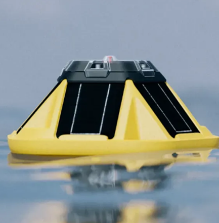
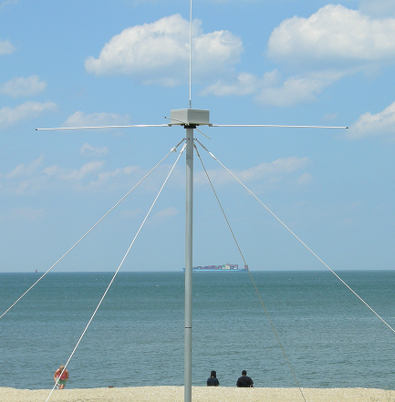
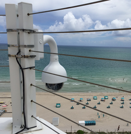
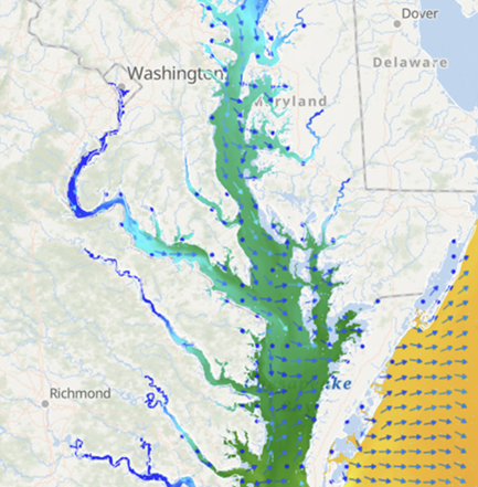
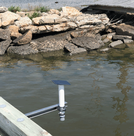
Smart decisions start with reliable information. When storms, floods, and coastal hazards threaten the Mid-Atlantic, MARACOOS delivers the trusted ocean and coastal information that helps communities prepare and respond. Our integrated network of high-frequency radar, gliders, buoys, and predictive models transforms real-time observations into actionable insights.
From forecasting flooding and supporting search-and-rescue operations to ensuring safer navigation, MARACOOS helps protect lives and livelihoods across the Mid-Atlantic. Together with our partners, we’re building a safer, more resilient coast for the more than 79 million people who call this region home.