
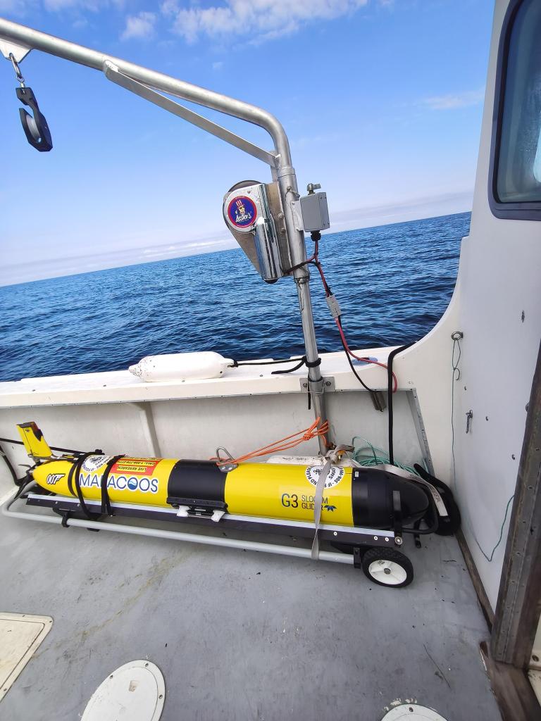
Hurricane Gliders and the Mid-Atlantic Cold Pool
Summer 2026 marked the first hurricane season underwater gliders were formally written into the National Hurricane Operations Plan, an essential piece of the United States...
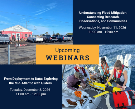
Fall Webinars

New Water-Level Sensor Installed at Breezy Point Advances Calvert County’s High Tide Flood Mitigation Plan
The University of Maryland (UMD) Hydronet program has completed the installation of a research-grade water level monitoring station at Breezy Point Beach and Campground in...

Mobilizing a Regional HAB Network for the Chesapeake Bay
The first sign something was amiss in the Bay arrived by email. A few cells of the harmful algae, Margalefidinium polykrikoides (Marge, for short), were...

Webinar: Tracking Ocean Sunfish to Map Marine Biodiversity HotSpots
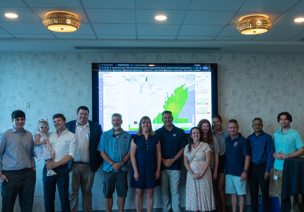
MARACOOS Celebrates Virginia Beach Webcamera Installation
As the final school days wrap up and summer crowds begin filling the sand along the Eastern Shore, a new tool is in place in...
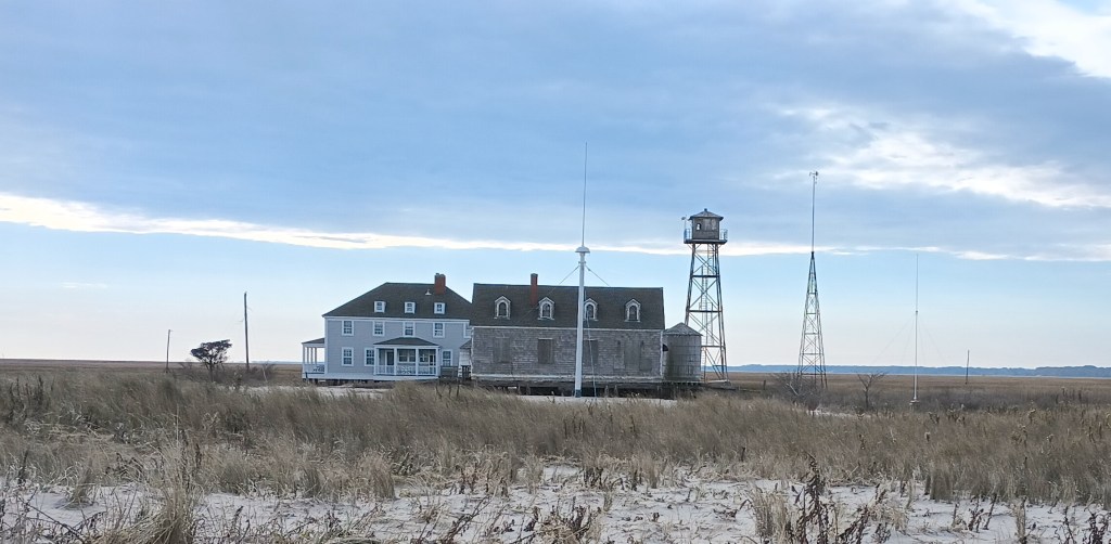
Cedar Island’s HF Radar Station Returns to Service
HF radar site on the north end of Cedar Island at the former Metompkin Inlet Coast Guard station The Cedar Island High Frequency (HF) radar...
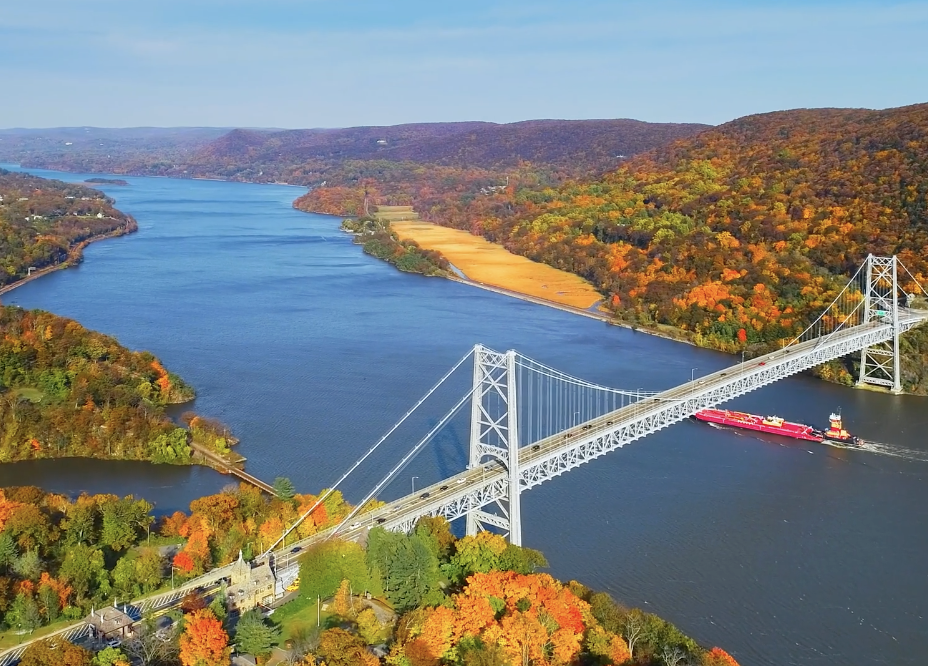
The Value of Near Real-Time Visual Data for Maritime Traffic
The Hudson River transits approximately 13 million tons of cargo each year to Central New York, Western Massachusetts, and Western Vermont (U.S. Army Corps, 2023)....

Recording Now Available: Help Shape the Future of Coastal Ocean Forecasting
On Monday, Aug. 4, we hosted an interactive virtual workshop focused on the development of the East Coast Community Operational Forecast System (ECCOFS)—a next-generation ocean...