
Hydronet’s deployment at Breezy Point Beach and Campground provides real-time data strengthening coastal resilience and flood monitoring in the region.

The University of Maryland (UMD) Hydronet program has completed the installation of a research-grade water level monitoring station at Breezy Point Beach and Campground in Calvert County. The installation, which took place Thursday, July 23, responds directly to the county’s 2025 High Tide Flood Mitigation Plan, which calls for expanding the use of sensors to monitor tidal flooding and sea-level changes in real time.
Hydronet is a UMD-led, MARACOOS-supported project designed to strengthen water-level monitoring across the Chesapeake Bay region. By deploying low-cost, real-time sensor networks in high-flood-risk areas, the program provides critical data to help local planners, emergency managers, and residents enhance coastal resilience and flood preparedness.
Sitting on a high water table with 23 flood-vulnerable structures and the closest NOAA tidal gauge located over 20 miles away in Solomons, Breezy Point is especially vulnerable to high tide flooding during nor’easters, tropical storms, and hurricanes. The new station at Breezy Point uses a non-contact sensor that transmits real-time water level data, allowing for immediate situational awareness during storm surges and high-tide events and enabling emergency managers and decision-makers to make quicker, more informed decisions.
Over the coming weeks, Hydronet will be deploying additional water-level sensors throughout the region, supporting several critical sectors:
- Enhanced Decision Making: Local officials and residents can use real-time tidal data to make informed decisions regarding road closures and emergency responses during flood events.
- Public Safety: Improved flood monitoring helps emergency managers identify long-term community risks and enhances the accuracy of coastal flood alerts.
- Infrastructure Protection: Continuous monitoring helps quantify the impact of natural hazards on critical coastal infrastructure, such as docks, piers, and shoreline defenses.
- Disaster Response: The data collected provides a robust record for requesting disaster declarations and hazard mitigation funding following significant storm events.
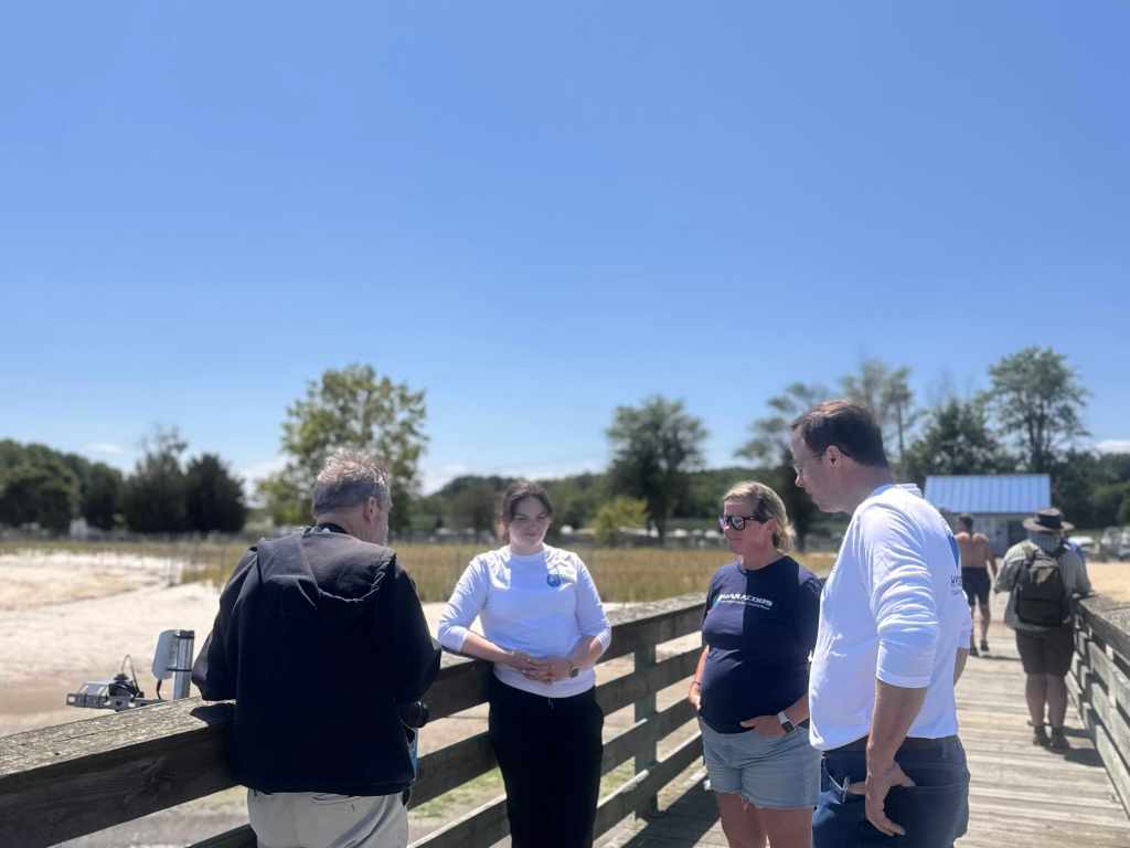
The Breezy Point installation was supported by partners including the Calvert County Division of Emergency Management, the Calvert Soil Conservation District, and the Mid-Atlantic Regional Association Coastal Ocean Observing System (MARACOOS).
For more information about the Hydronet project and to access live water-level data, please visit the Hydronet website at hydronet.umd.edu.
To view the live data portal for Calvert County and other regional sensors, visit: hydronet.umd.edu/live-data-page/
For additional information, please contact:
Tim Canty
Principal Investigator, UMD Hydronet
301-405-5360 | tcanty@umd.edu
Calvert County Division of Emergency Management
410-535-1600 | pio@calvertcountymd.gov
Kayla Sheehan
Communications Manager, MARACOOS
860-833-4980 | kayla@maracoos.org
Related Posts
Share this post

