MARACOOS in Chesapeake Bay
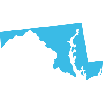
The Chesapeake Bay is the largest shallow-water estuary in the western hemisphere, encompassing 64,000 square miles and including parts of six states—New York, Pennsylvania, West Virginia, Delaware, Maryland and Virginia—and the District of Columbia. The Bay is home to over 3,600 species of plants and animals, ten million people, and a strong regional economy.
Over 97 million tons of imports and exports pass through the Port of Baltimore and Port of Virginia annually. In addition to the shipping and maritime transportation industries, commercial fishing forms a large part of the Chesapeake regional economy. According to the most recent NOAA Fisheries Economics of the United States Report, the commercial seafood industry in Maryland and Virginia contributed nearly $8 billion in sales, $1.8 billion in income, and over 60,000 jobs to the local economy.


Flood Monitoring and Forecasting
Partnering with the University of Maryland, MARACOOS is installing new water level sensors across the state. These sensors deliver real-time flood data to improve coastal and inland flood forecasting—helping communities better prepare for extreme weather and rising seas. Explore more on our WWW Network page.

Enhancing Maritime Safety
A MARACOOS-operated high-frequency radar on Assateague Island tracks ocean surface currents, aiding U.S. Coast Guard search and rescue operations. This reduces search areas by up to two-thirds, saving lives and cutting operational costs. Learn more about HF Radar.

Chesapeake Bay Environmental Forecasting
Through the Chesapeake Bay Environmental Forecast System (CBEFS), MARACOOS delivers forecasts of currents, hypoxia, harmful algal blooms, and sea nettles—critical for watermen, tourists, and emergency response.